Day 26 - Wednesday, June 5th - Abilene to Topeka, KS


Distance: 106.2 miles
Elevation Gain: 4621 ft. or 43.5 ft./mile
Net elevation
change: -305 ft.
Today we crossed the half way point for the tour in mileage and while a long day, the quiet country roads and great scenery were most welcome while the number of turns made for a more interesting route despite the heat and humidity (afternoon high in Topeka was 94 F)
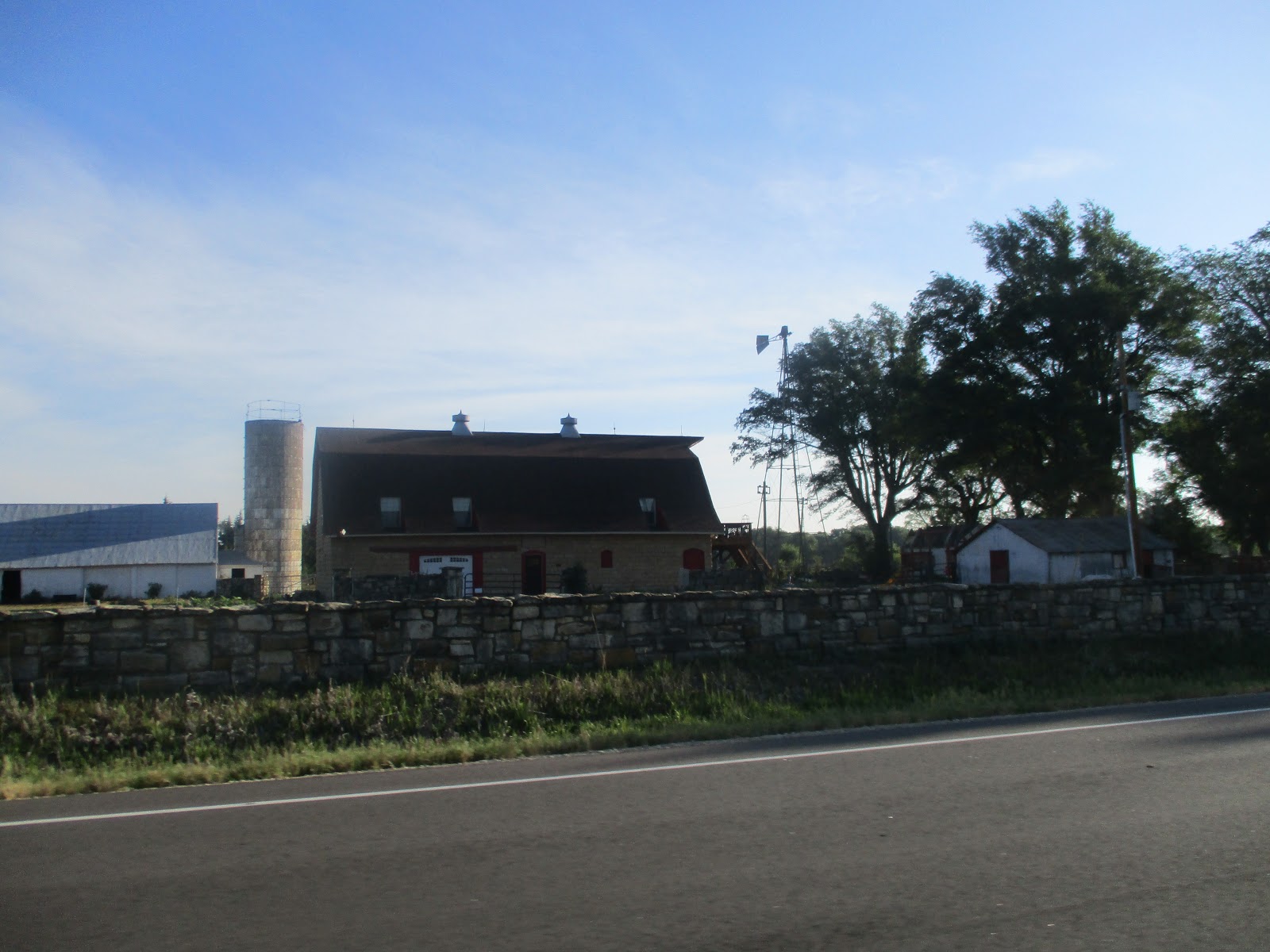
Out of the hotel we headed back the way we came into Abilene, south on KS-15 for 2 miles where we made a left and headed east on 1st Street for five miles and then turned south on KS-43.
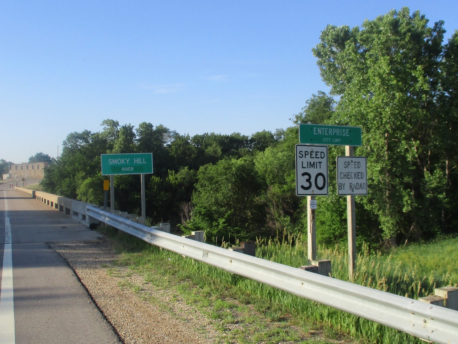
Shortly after that we crossed the Smoky Hill River and reached Enterprise, a town of about 850 people. Enterprise was first settled in 1868 and and was named for the enterprising nature of those pioneer settlers. Temperance movement leader Carrie Nation and a band of followers busted up a saloon in Enterprise on January 23, 1901.
Some pictures from the ride to this point.


Amber waves of grain !!


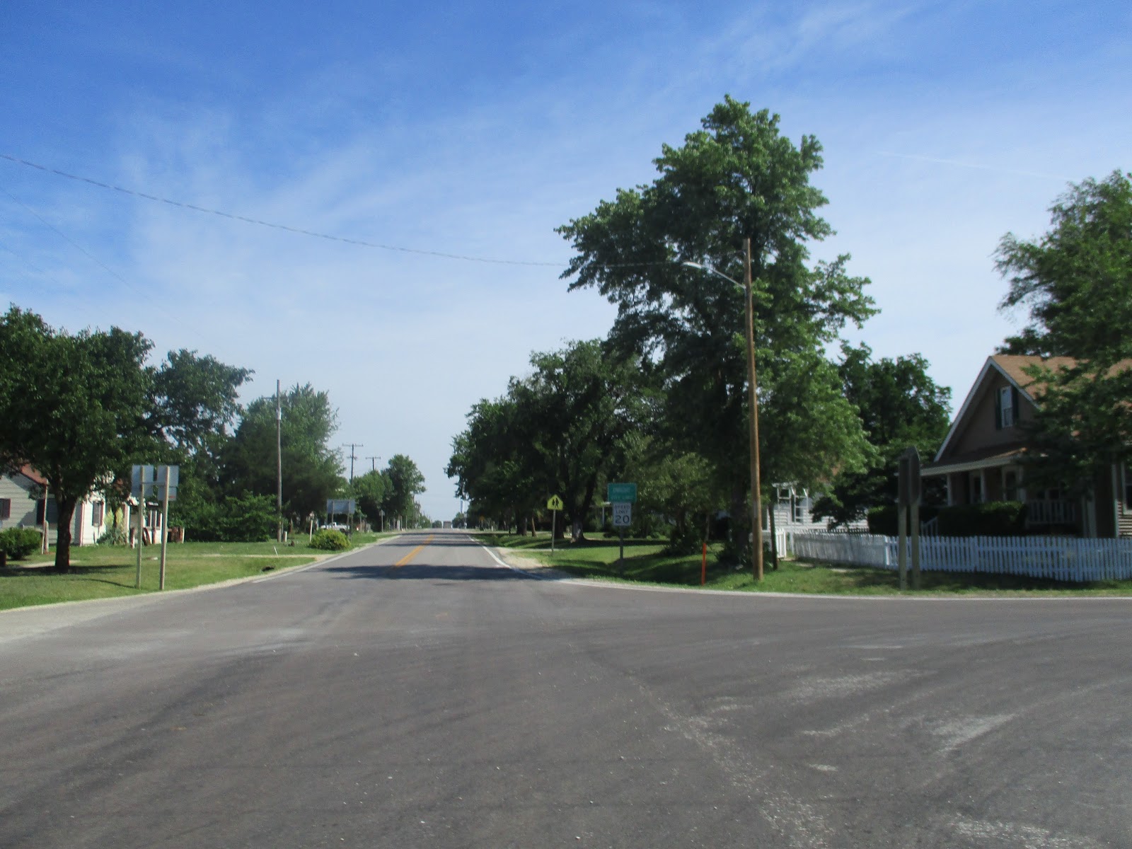
Two miles down the road KS-43 turned south but we continued east on what must be a county road and reached Woodbine at mile 23, a town of about 170 that was founded by James Allen Gillett Sr in 1871. He originally named it Lyons after a nearby creek but later renamed it Woodbine after his former hometown of Woodbine, Illinois.
The road into Woodbine.


At mile 35 we got to White City, our first SAG stop, and a town of about 600 people, founded in 1871 and named after a railroad official. Pictures from the ride into White City.

My favorite picture of the day (above).


In White City we picked up KS-4 and headed east until the road turned north at mile 43. About three miles later we reached Dwight, a town of about 270 named for Dwight Rathbone, the original owner of the town site.
We continued to follow KS-4 east, then north, then east and at mile 53 passed south of Alta Vista a town of about 440 and so named because of its lofty view. It was at this point that the climbing became a tad more challenging....well for me anyway. Isn't Kansas flat? I always thought so. Ha...welcome to the Flint Hills, a region of Eastern Kansas to North Central Oklahoma, named for the abundant flint that eroded from the bedrock that is at or near the surface. The rocky soil wasn't suitable for farming so that is why there is a lot of cattle ranches in the area.
KS-4 turned north at about mile 59 and then east a mile later. At mile 64 it turned north again for two miles and then southeast and east right after the “Welcome to Alma” sign.
At mile 71 we passed Lake Waubaunsee, a man-made lake built in the 1930’s and the site of a WW II internment camp for German and Italian POW’s.
Here are some pictures from the Alta Vista through Lake Waubaunsee.


Lake Waubaunsee in the distance
At mile 76 we reached our second SAG stop in Eskridge, a town of about 500 people that was laid out in 1868 and went through a growth spurt in 1880 when the railroad was built through it. The town is named after Charles V. Eskridge, a journalist and politician. In Eskridge, KS-4 turned north at about mile 77 for about 7 miles where we turned east and the road stair stepped it way north and east into Topeka.
Here are pictures from the ride from Eskridge to Topeka.


At mile 92 we reached what is left of the community of Dover, a few homes, the Sommerset Hall Cafe where you can get home made pie by the slice and an antique shop in an old gas station. The pie was quite the hit.


I never did see a sign indicating we entered Topeka, but at the 100 mile mark the signs that we were close were unmistakable. A home that looks to qualify as a McMansion (there were others as well) and a city pool and water park. It was really tempting to get off the bike here!!


Sneak Peek at Tomorrow
85 miles to St Joseph Missouri, our sixth state line crossing and seventh state. We have nearly 2000 less feet of climbing but the feet per mile is comparable to today so I guess we aren't quite done with the Flint Hills. St Joseph, is the county seat of Buchanan County and a city of roughly 77,000 people. Located on the Missouri River it was founded by a local fur trader named Joseph Robidoux and incorporated in 1843. At that time it was a bustling frontier town serving as the the last supply point before heading into the “Wild West”. It is also known as the starting point for the Pony Express and the place that Jesse James died.


Comments
Post a Comment