Day 45 - Monday, June 25th - Syracuse to Herkimer, NY - 265 miles to go


Distance: 71.0 miles
Elevation Gain: 1492 ft. or 21.0 ft./mile
The route today was mostly to the east and changed to the south east for the last 20 miles or so. As you can see from the profile the terrain was mostly rolling with two small climbs of any note. Finally the sun came out, The temperature never got above the low 70's so it was perfect weather to be riding a bike in the New York countryside on surprisingly quiet roads for most of the day. Even better, we had a tail wind most of the day.
Out of the hotel we spent a good deal of time clearing the eastern portion of Syracuse and subsequent suburbia. I don't have any recollection of signs indicating where we were entering or where we leaving but I also wasn't paying a whole lot of attention as I was just soaking up the early morning sun. The camera more or less stayed in the bag. I did manage a few pictures as we headed east over the first 24 miles.


At mile 25 we reached Canastota, a village of 4,000 in the town of Lennox. It was incorporated in 1835 and known as an "onion growing" town. Since it is located along the Erie Canal it was an active trading and commerce town until the railroads later took that freight business. It also happens to be the home of the International Boxing Hall of Fame. With two world champions, Carmen Basilio and Billy Backus, coming from Canastota, it was a natural choice as a site for the museum.


At mile 25 we reached Canastota, a village of 4,000 in the town of Lennox. It was incorporated in 1835 and known as an "onion growing" town. Since it is located along the Erie Canal it was an active trading and commerce town until the railroads later took that freight business. It also happens to be the home of the International Boxing Hall of Fame. With two world champions, Carmen Basilio and Billy Backus, coming from Canastota, it was a natural choice as a site for the museum.


Oneida was next at mile 32 and we crossed the Oneida Creek shortly thereafter. Oneida is a city of over 11,000 that takes its name from the Oneida tribe which occupied the area in colonial times. The Oneida people were forced to cede most of their land to the state of New York, some in unconstitutional ways, since the state did not have the authority to deal with the Oneida.


Westmoreland was next up at mile 46. A town of over 6000 was first settled in 1748 by James Dean, a missionary among the Oneida Tribe. Formed in 1792, portions of the town were lost in 1802 and 1855 to establish the towns of Vernon, Verona and Kirkland.
At mile 52 we reached Whitesboro, a village of 3,772 named after Hugh White, an early settler who was adopted into the Oneida tribe and built the first permanent settlement there in 1784-85. The Whitesboro seal displays founder Hugh White wrestling an Oneida Native American. The previous version of the seal was quite controversial since it showed the settler's hands on the Native American's neck instead of his shoulders and thus interpreted as a settler choking the Native American. The current version of the seal was created in 1970, after a lawsuit by a Native American group.
Several pictures of the countryside on a spectacular day to be on a bike.


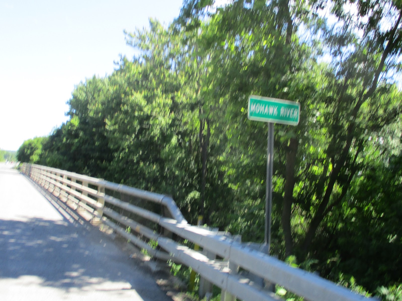
We crossed the Mohawk River and State Barge Canal at mile 53.


About another mile down the road we got on River Road and pretty much stayed on this until we reached Herkimer. The landscape changed from scenic to not so scenic and on a couple of occasions I could tell I was closer to New York City as driver aggressiveness took a noticeable uptick with passing too close and shouted nastiness. As I was approaching two different intersections I was passed from behind only to have the driver cut in front of me to make the right hand turn. In one instance the driver almost missed the turn to the point of going into lane of oncoming traffic coming from the right.
I was able to salvage some pictures from the final run into Herkimer.


Sneak Peek at Tomorrow
265 miles to go and tomorrow is 79 miles to the southeast to Latham NY. Looks like a relatively easy day in terms of distance and elevation. I think today's tailwind could be a headwind but the mild temps look to continue. In fact it will get down into the high 40's overnight.
With a population over 20,000 Latham qualifies as a city in my book, but it's technically a hamlet according to New York States classification system. The area was known by different names over the years, first as Yearsley's, Van Vranken's , Town House Corners and Latham's Corners. The "corner" referred to is now the intersection of Troy-Schenectady Road (NY Route 2) and Old Loudon Road which was built in 1755 during the French and Indian War to bring troops and provisions from Albany to the areas of Lake George and Ticonderoga. Jonas Yearsley an early resident built the first hotel close to this intersection. The hamlet was known first under the name of Yearsley's Corners and years afterward as Van Vrankens Corners in the 1850's. The name changed into Latham when William Latham became owner of the hotel. James, his son, continued to run the hotel until he died on August 14, 1933.
With a population over 20,000 Latham qualifies as a city in my book, but it's technically a hamlet according to New York States classification system. The area was known by different names over the years, first as Yearsley's, Van Vranken's , Town House Corners and Latham's Corners. The "corner" referred to is now the intersection of Troy-Schenectady Road (NY Route 2) and Old Loudon Road which was built in 1755 during the French and Indian War to bring troops and provisions from Albany to the areas of Lake George and Ticonderoga. Jonas Yearsley an early resident built the first hotel close to this intersection. The hamlet was known first under the name of Yearsley's Corners and years afterward as Van Vrankens Corners in the 1850's. The name changed into Latham when William Latham became owner of the hotel. James, his son, continued to run the hotel until he died on August 14, 1933.


Comments
Post a Comment